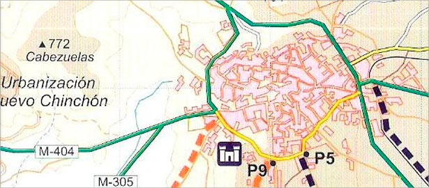
Web de turismo de Chinchón


Routes
Valquejigoso route
 Download route's map
Following, we propose a route that although short (just have about 4 miles), will surprised us with a variety of landscapes and contrasts along the way.
Castle path
We'll start near Castillo de los Condes and before arriving we will turn left through a wooded path about 200 meters Vand we reach the Valquejigoso park. It is located in a nice area with panoramic conditioning for recreational use. After walking about 800 meters we'll find a fork. If we turn left, the road ends in a parking, while if we turn right we'll go down bordering the pine forest and reach a wooded area with fountain (Valquejigoso). We are at 1.6 km from the beginning.
In this recreation area we can see the height of the pines that are there, the old watering hole used today by flocks of sheep and we can also see an old laundry tub where you can see the area that still retains Pillar arcaded area for shelter in case of rain. We continue our journey now by a sharp rise between some construction and after the climb gives access to a flat area.
Moor path
From this area we can see the pine forest area that we left back and forth before our eyes opens an area with dry crops like wheat and vines. Then we'll find an intersection where turning right will head us back to Chinchon.
Fuente Pata path
In this section we begin a steep decline between crop fields and discover before finalizing it an area with stone seats, a fountain and a central shaft. Is Fuente Pata. Formerly known as Fuente Perico Pata, is a historic place where once swore, under a tree, justice charges and trustees of the town while allowing refuge to people and livestock at the gates of Chinchon.
We are 3.6 miles from the start. We end our road 400 meters ahead towards Chinchón near the Convent of the M.M. Clarisas that is already in the urban area.